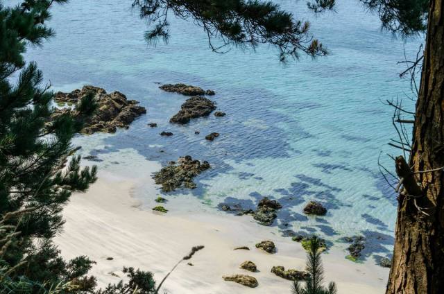
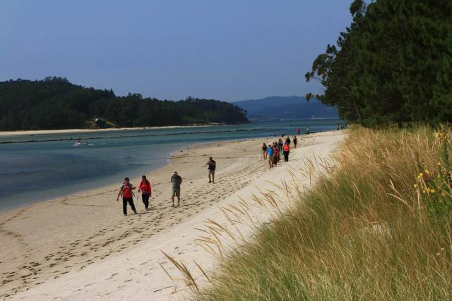
The Mount of Insua divides the Bay Basa from the mouth of the River Grande. O Camiño dos Faros goes along the central dirty track of the coastline, bearing in mind that if there is low tide we can walk on the sand.
The route goes along the Eastern part of the Bay leading to Point Sandía where we see the beaches formed by the mouth of the River Grande, finishing in Ariño.
If we want to see some views of all the estuary and the village of Camariñas, we can ascend the 104 meters of “Alto de Insua”. It is not included in the route, and it is also a kilometer ascending by walking across pine groves that we will have to walk back to retake our Camiño dos Faros.
The first thing we see along the coast is the “Fountain of Agramar”, near the remains of the mine Amparo that was devoted to extract wolfram.
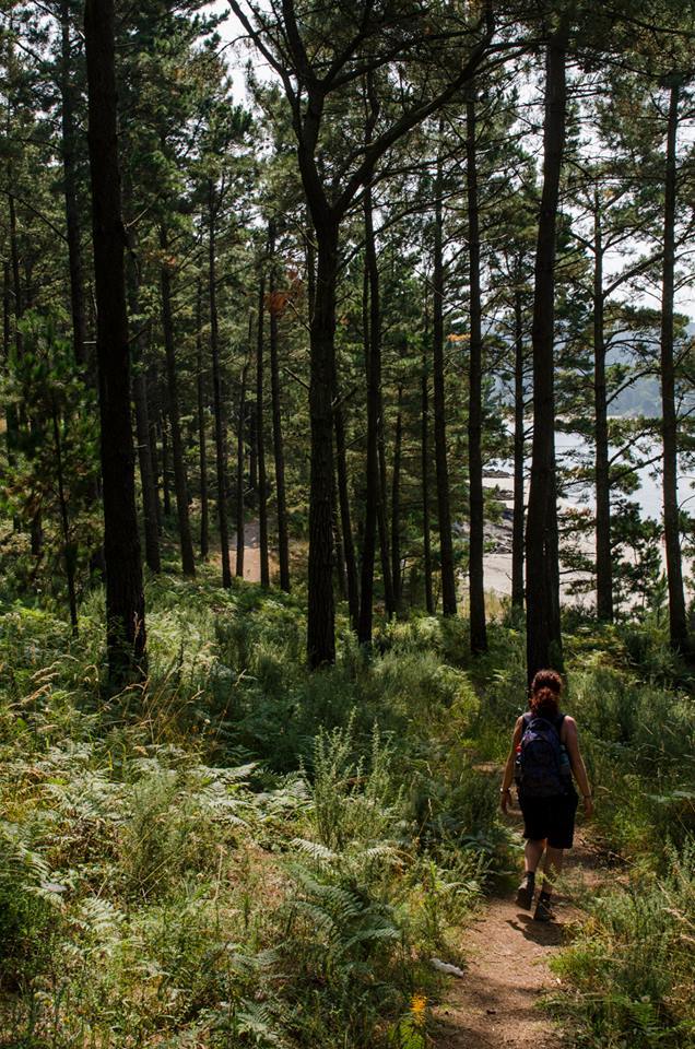
Walking along the Route Insua is kind of easy as it is through a path of pine groves that leads to the beach Ariña Blanca and Punta Sandría, which separates the bay from the mouth of the River Grande. It is at this point we can also enjoying seeing the shellfish activities when the tide is low.
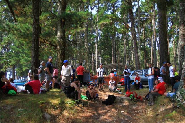
After passing by Rego dos Coiros we arrive in Ariño. The beach of Ariño is another treasure of O Camiño dos Faros. This beach is surrounded by a pine grove with tables and stone seats which make of this place a perfect spot for the first stop.
Right in front of it, we can see the beach Area Blanca, which is already in the municipality of Muxía, but in order to get there we have to take a long way of at least 8 kilometers as we can´t go straightaway. We leave the beach Ariño by taking a track that takes us again to the road to get into the rural area of this area, leading to Ponte do Porto.


