Tag Archives: Stage 3

Vilaseco

On our way to Dombate, we get to Vilaseco, a typical village in the inland of Bergantiños. We can see big “horreos” built in wood or stone that were and still are used to keep the corn and cereals.

When we are leaving the village, we can see a farm with Galician Friesian cows, one of the few livestock farms in this Camiño dos Faros.

From that point, we will take the road that will lead us to the “Dolmen” in Dombate. It will take us only a few minutes to get there.

The Castro A Cibda in Borneiro

This Castro was discovered in 1924 by Isidro Parga Pondal. The different archaeological excavations carried out let us see nowadays most of the “castro” and study the lifestyle of those people. It was inhabited between the 1st and 6th century and it seems not to have been Romanized.

There are lots of “castros” in this area. These settlements are in the high lands from where they dominate the whole area, and they are usually close to the bed of the rivers where they took the water from. This “castro” is a perfect example: there are several walls that surround the “castro” as a defense. There is also a stream close to it. From the “castro”, which is 200 meters high, we can see the mouth of the river Anllóns and the estuary of Corme and Laxe.


Most of the houses have a circular shape, with a 5-meter diameter. The ground floor of most of them is still kept in good condition. Apart from these dwellings, there are some remains of some other places of the village where the inhabitants carried out some other tasks. In the eastern area, which can be considered the entrance of the village, there is a kind of complex formed by a big oval house, two fountains and a circular oven used to melt the metal.

Its inhabitants were farmers, as some pieces of pottery and bronze have been found, prove that they used them in their daily tasks. These pieces are exhibited in the Castle of San Antón in A Coruña. As this “castro” is closed to the sea, it is believed that its inhabitants also carried out tasks related to fishing and shellfish-gathering. Without a doubt, it is a place to visit to know the lifestyle of the people of that time in this part of the coast.

Along the route, there are some monoliths that indicate that it is not allowed to sit or walk along their walls. In summer time, there is a guide who shows the visitor all this “jerarquía castreña” (the “castros” show the hierarchy of the people of that time) and its lifestyle, where men and women share the tasks and goods in a society where the age was the indicator of the largest ranges.

Rego dos Muíños

O Rego dos Muíños or of Roncadoiro is the reason why this route is worth it. They are 3 kilometers along which we can listen not only to the sea sound but also to the river noise, a stream with small waterfalls and amazing spots where we can stop and enjoy.

By the river, the path ascends till Borneiro, across a grove of trees whose colors change according to the season. It is really amazing!
 

Along the route, we can see the remains of several windmills that are in its riverbank. 24 buildings which show us how important this river was for the inhabitants of Canduas and Borneiro.

When getting to Borneiro, we have to go across the road and we can see the route to the Castro A Cibda.

The path of River Anllóns

This 3rd stage starts by walking along this amazing landmark, the estuary of the river Anllóns. The first kilometers is carried out by leaving the bridge of Ponteceso by taking the main road till we reach the factory Apligasa, from where we will take the right one that will lead us to a broad forest walk to the mouth of the river.

When we descend, we realize once again that all the landscape with the MountBranco in front of us make this route be a special piece of landscape in every step. 
 

This is a very rich area and the livelihood-sustaining asset of the shelfish gatherers that look for the cockle and also of the great amount of birds that rest along their migrations as it is a calm place where there are no predators and it is full of small invertebrates they feed upon.


And it is there, at the beach of Urixeira, next to the small observatory place, where the trasnos met José Luis Rabuñal Patiño. This ornithologist is the only authoritative voice to speak about this ecosystem, as he has been walking along it since the 70s, when he discovered that this estuary was the door for the birds flying form the States to get into Europe.

Since then, he has spent his life watching their migrations with more than 3500 visits documented. Not only is he a source of information but also he is a very good speaker. Just listening to him describing the flight of a 20-grame bird that flies across the Atlántico more than 10000kms without any stop, eating or sleeping is one of the presents this Camiño dos Faros gives us away.

From the beach Urixeira, the Path of Anllóns starts, a path that goes along the mouth of the river Anllóns, the bay Insua reaching the beach Lodeiro. In total, they are 3 kilomters along which you could see a lot of fauna and flora which makes this place be amazing.


Apart from its natural environment, the route takes us to some of the old shipyards where ships of wood were built that still exist nowadays. In the 20th century, loads of fishing and coasting vessels left from the shipyard of A Telleira. They are small shipyards where vessels are built and repaired in a craftsmanship way. Currently, there are still 3 (O Baladiño, O Tecelán e Roseva). They are one of the ethnographic treasures of the area.

When we reach the beach Lodeiro in As Grelas, which is actually the end of this path, we go across the road and it is then when the landscape radically changes again.

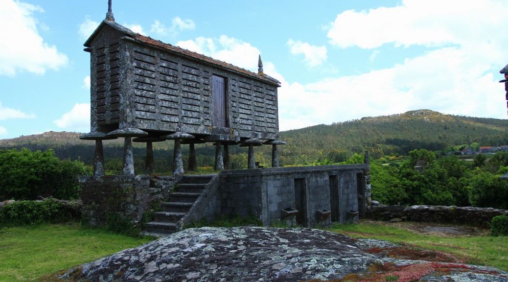
O Camiño dos Faros goes along the coastline whenever is possible, but in this stage we will walk 10 kilometers inland as it is worth doing it. We will ascend by taking the Route do Rego dos Muíños to see the Castro A Cibda and the Dolmen in Dombate, two archaeological treasures in A Costa da Morte, to finish the route in the Mount Castle of Lourido, the best viewpoint above the Ría with its 312-meter height.